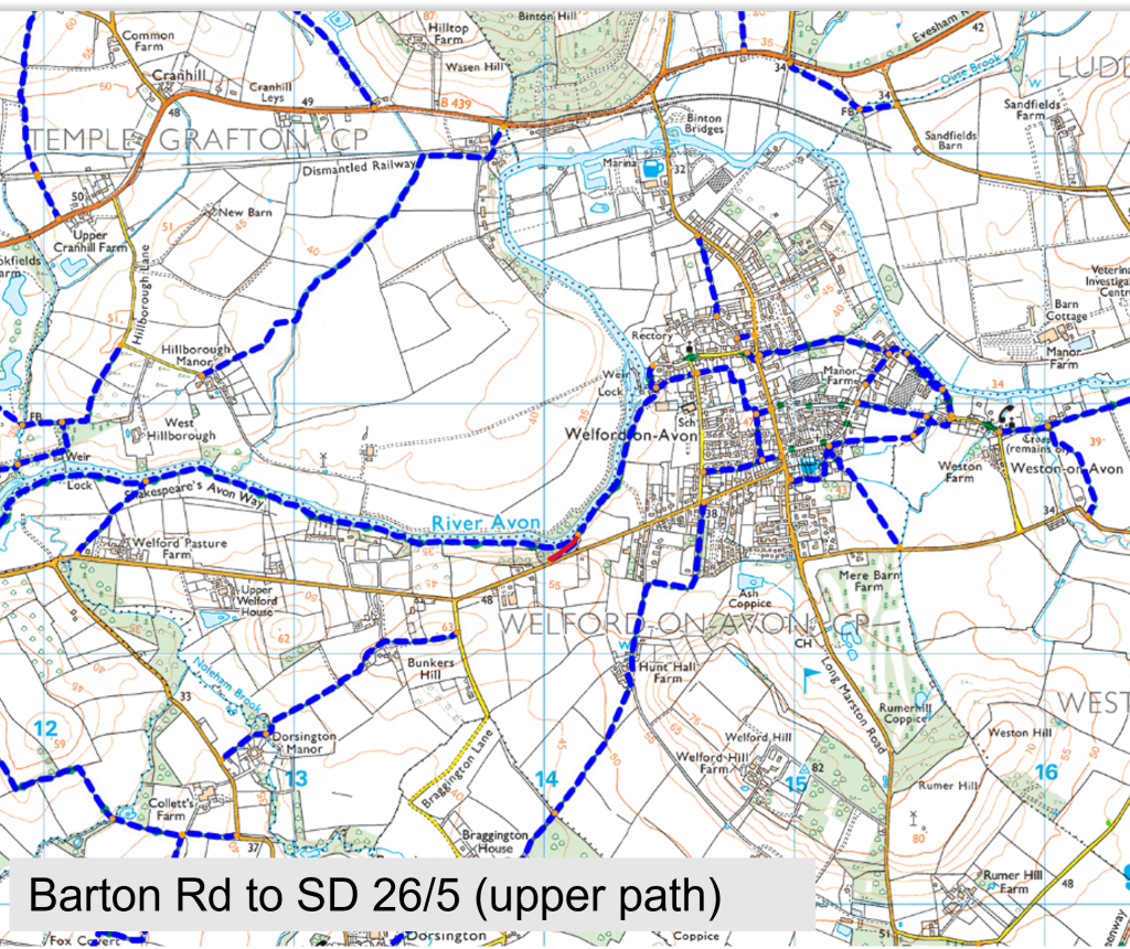
Barton Road to SD26/5 via upper path
Path Number – no path number
Distance – 0.1m, 0.16km
Links to footpaths – SD26/5
Map Location (in red):
Details:
Upper
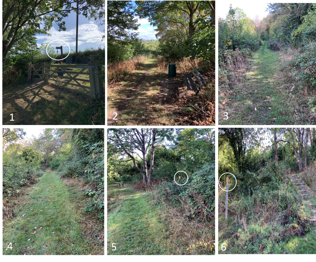
The path starts at Barton Rd (photo 1) and turns left towards the steps (photo 2). The steps go all the way down to the kissing gate (photo 9)
Part way there is a kissing gate to and adjacent field (photo 4) which has a seat for viewing (photo 5) There is a poorly maintained path down to the river (photo 6)
Near the adjacent field entrance is a small picnic are with bench and seats (photo 8)
Start Location (What Three Words) blotchy.ballroom.serious
End Location (What Three Words) agreeable.thud.developed
Path quality:
General condition is good with stone steps Well away from all main roads. Can be slippy in wet conditions but handrails are available
Marker posts:
Well signed marker post at the start on Barton Rd (photo 1) and the end (photo 9)
Barriers or obstructions:
Steps for most of the way. A kissing gate to get into the adjacent field and a kissing gate at the end
Usage:
Well used by walkers
Dog bins:
No bins
Repairs:
Some steps need minor repairs